+1 786 290 3060 info@bjxtravel.com
Arrival in Sarria and accommodation in Sarria.
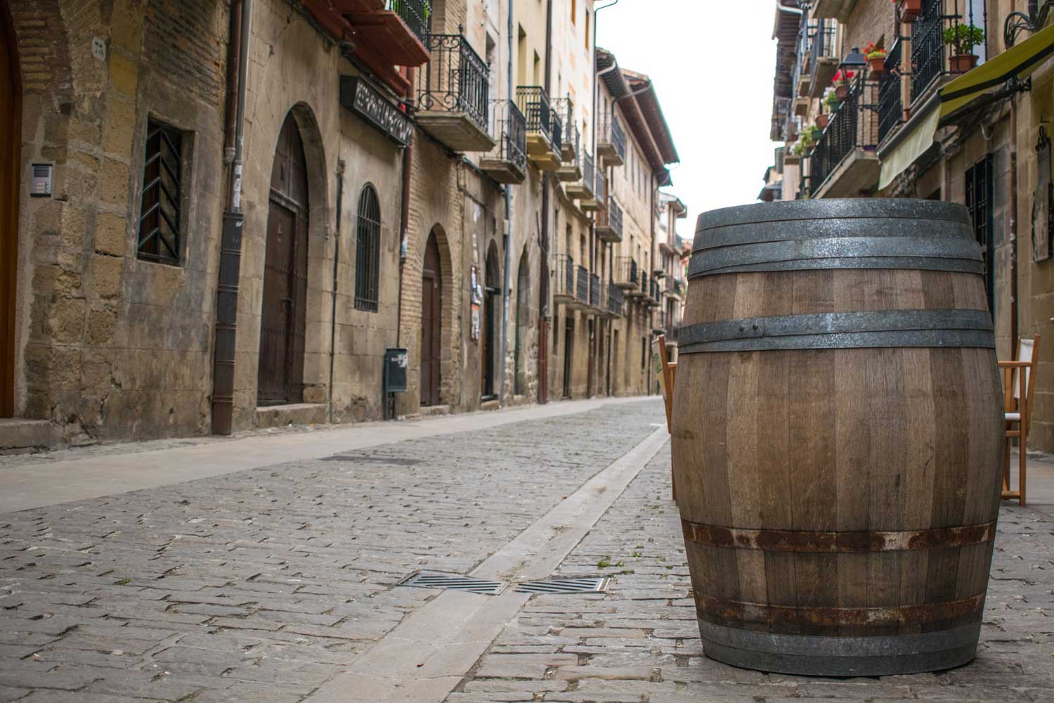
Sarria is very close to the mythical and last 100 kilometers, the minimum distance to travel on foot to win the Compostela. The stage offers countless villages of the Concellos de Sarria, Paradela and Portomarín, good examples of Romanesque, paved neighborhood tracks, rural paths and corridors, medieval bridges and rustic walkways ...
The stage is divided by the mountain range of Ligonde, which in turn divides the basins of the Miño and Ulloa rivers and the Concellos of Portomarín and Monterroso. Although the beginning is promising and presents with a gentle ascent up Mount San Antonio, the rest gets drunk along modest, provincial and even national roads. However, good examples of Romanesque churches liven up the trip, including the possibility of turning off to Vilar de Donas to visit San Salvador, old pilgrims' hospitals and the valuable Lameiros cruise ship
The French Way leaves Palas through Campo dos Romeiros, a traditional meeting place for pilgrims, to enter the medieval village of Leboreiro. Between Leboreiro and Melide, it crosses the village of Furelos and its river through a medieval bridge to enter the urban area of Melide. From this point, the Camino passes through Boente and Castañeda to arrive later at Arzúa, Villa quesera. The Camino is presented in this docile stage and in very good condition, mixing earth and stone with small carts between villages, with gentle ascents and descents, alternating with flat sections.
Between Arzúa and the cathedral of Santiago, there are almost 40 kilometers, and the most logical and prudent thing is to divide the section into two days making a stop and stop at Santa Irene or O Pedrouzo. The City Council of Arzúa gives the witness to that of O Pino in a comfortable route, with easier slopes and tracks always close to the N-547.
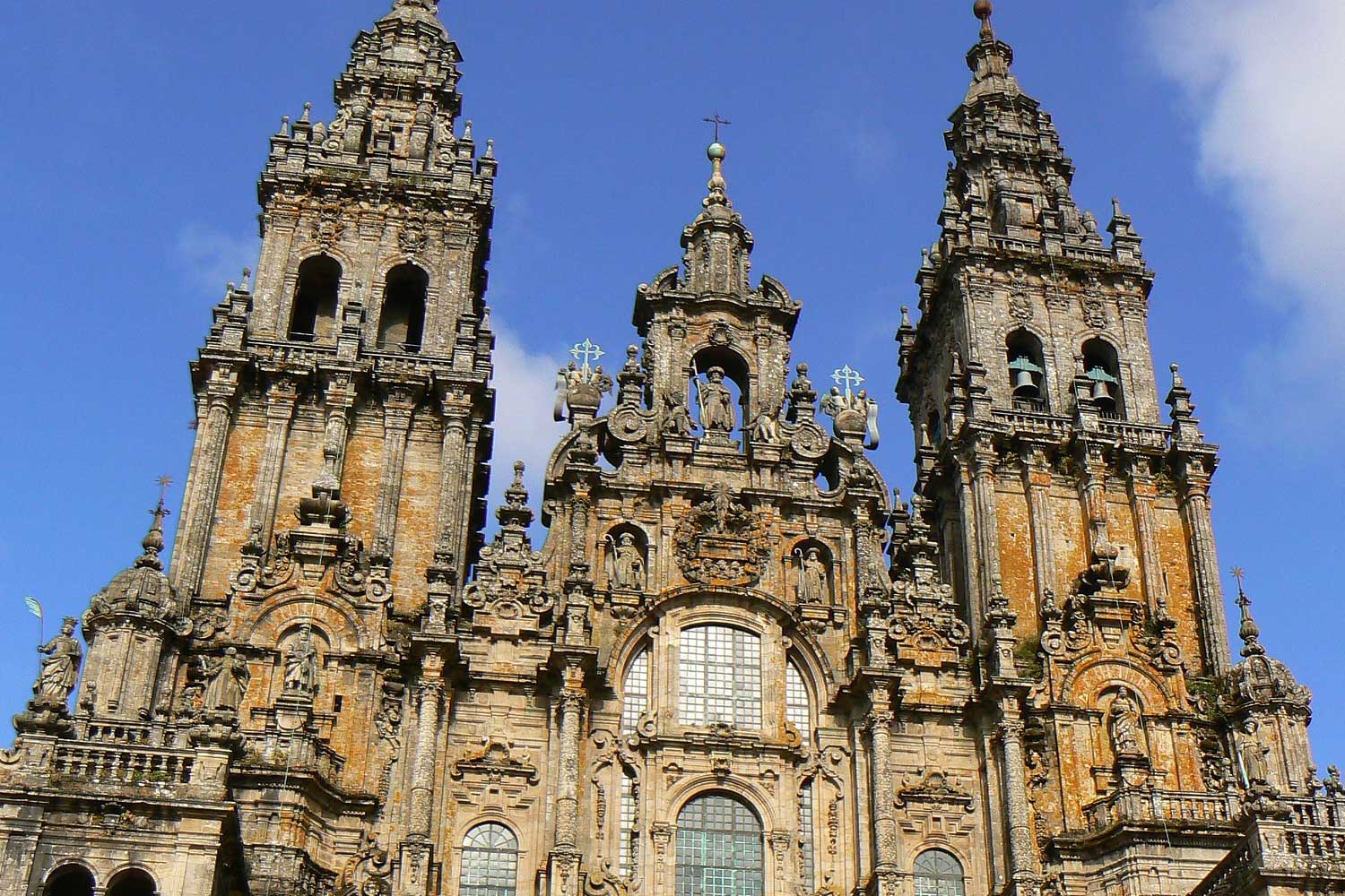
We are almost reaching our goal. Walking becomes serene, perhaps for fear of ending and not knowing or not wanting what to do next. On litter tracks, among the last spots of pine and eucalyptus forests, very close and symmetrical, in some areas, also some oaks, the last villages arrive. Today's stage will take us first to the municipality of Lavacolla. Upon reaching the top, you pass by the airport and start the gentle descent to Lavacolla. A creek passes through Lavacolla that the old pilgrims used to wash and purify themselves before arriving at Santiago de Compostela. Lavacolla, already at the end of Santiago, is very close to the Monte do Gozo, a small elevation from which the pilgrims have for the first time the vision of the cathedral of Santiago.The Monte do Gozo, converted into the Xacobeo 93 in a area for pilgrims, has a large monument at its top, fountain and the chapel of San Marcos. From here, the route is practically urban, reaching the Cathedral through the San Lázaro neighborhood, Rúa de San Pedro, Porta do Camiño, Rúa das Casas Reais and Praza de Cervantes, to go down directly to the cathedral and access through the Holy Door or, if it is not Holy Year, by the Azabachería.
Airport transfer.